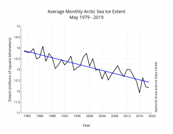
https://nsidc.org/arcticseaicenews/files/1999/06/Figure3-350×270.png

Warm May in the Arctic sets the stage
June 4, 2019May saw above average temperatures over nearly all of the Arctic Ocean, Baffin Bay, and Greenland. Early sea ice retreat in the Bering Sea extended into the southern Chukchi Sea. Northern Baffin Bay and the Nares Strait have low ice cover. By month’s end, open water extended along the northeastern Alaskan and northwestern Canadian coasts, all well ahead of schedule. However, this was partly balanced by slower-than-average ice loss in the Barents Sea. At the end of May, Arctic sea ice daily extent stood at second lowest in the 40-year satellite record.
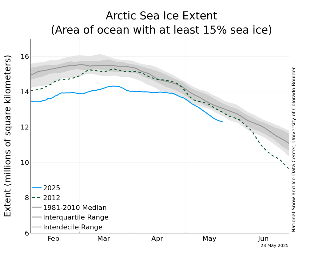
https://nsidc.org/data/seaice_index/images/daily_images/N_iqr_timeseries.png

The dashed green line represents the record low summer sea ice extent year 2012. That year was certainly an outlier, a perfect storm of extreme local weather conditions as well as the general trend of global warming. Spring ice cover is a poor predictor of summer ice melt, but I do believe this year will be, if not a record-breaker, pretty close to one. Record-breaking low ice summers occur, on the average, every four or five years, so we’re way overdue for another.
As for record-breaking high ice summers…well, we haven’t had one of those since the beginning of the satellite monitoring era four decades ago. The ice curve is jagged and noisy, progressing in fits and starts, but for every month and every year it has always been down