• Space/Science
  • GeekSpeak
  • Mysteries of
    the Multiverse
  • Science Fiction
  • The Comestible Zone
  • Off-Topic
  • Community
  • Flame
  • CurrentEvents

Recent posts

Birthright Citizenship RobVG June 29, 2025 3:34 pm (CurrentEvents)

To be blunt, NASA is now dead RL June 27, 2025 11:56 am (Space/Science)

Musk trashes his own AI after it chose a liberal worldview. RobVG June 23, 2025 9:56 am (CurrentEvents)

Psyche keeps its date with an asteroid BuckGalaxy June 22, 2025 5:21 pm (Space/Science)

Just for the record... ER June 22, 2025 8:59 am (CurrentEvents)

The Three Unknowns After the U.S. Strike on Iran BuckGalaxy June 22, 2025 12:58 am (CurrentEvents)

There are only nine meals between mankind and anarchy. BuckGalaxy June 22, 2025 12:29 am (Flame)

Not ready for prime time BuckGalaxy June 19, 2025 12:18 pm (Space/Science)

hypocrisy ER June 15, 2025 2:30 pm (Flame)

NSIDC offline? ER June 12, 2025 12:19 pm (Space/Science)

Wouldn't it be nice BuckGalaxy June 11, 2025 3:13 pm (Off-Topic)

Thank You Falettinme Be Mice Elf Agin BuckGalaxy June 9, 2025 1:35 pm (Off-Topic)

Home » GeekSpeak

Podrock, help April 23, 2016 1:17 pm RL

I used to be able to download grey scale elevation maps from the usgs at http://viewer.nationalmap.gov/basic/

Now they are in some *.img format I cannot view- I need .tiff, or .png- is there a converter (preferably free) that you recommend?

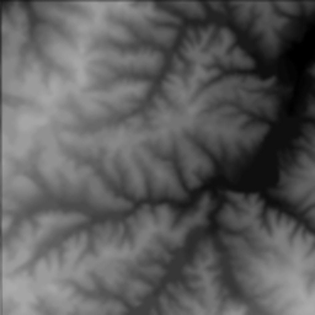
In the end I need images like this:

null

  • Just found a better solution... by RL 2016-08-23 16:11:06
    • Another possible addition to the toolbox by mcfly 2016-04-24 18:42:42
      • I will look into the free version... by RL 2016-04-26 14:52:47
      • Opentopography by podrock 2016-04-24 09:36:53
        • Pix4D alternative? by SDG 2016-08-26 07:30:48
        • You might try: by podrock 2016-04-24 06:21:46
          • Don't you use Blender? by podrock 2016-04-24 07:00:42
            • Yes, this is for blender by RL 2016-04-24 11:39:37
              • I finally got it... by RL 2016-04-24 13:12:43
                • Excellent! by podrock 2016-04-24 14:05:42
                  • South Platte by RL 2016-04-24 14:21:11
                    • North Carolina by podrock 2016-04-24 15:24:20
                      • Cool, is that sketch up pro? by RL 2016-04-24 17:02:40
                        • Yup by podrock 2016-04-24 17:18:11
                          • If you ever want to try blender for terrain... by RL 2016-04-24 17:28:46
          • A python method by podrock 2016-04-23 15:09:51
            • Uhhh, by podrock 2016-04-23 14:07:37
              • I used to be able to download a tiff image by RL 2016-04-23 14:11:42
                • software by podrock 2016-04-23 14:34:21
                  • Sadly by RL 2016-04-23 22:34:06
                  • what scale? by podrock 2016-04-23 14:25:05
                    • Not sure what you mean by RL 2016-04-23 22:31:42
                      • What I mean by podrock 2016-04-24 06:43:07

                Search

                The Control Panel

                • Log in
                • Register